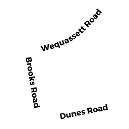
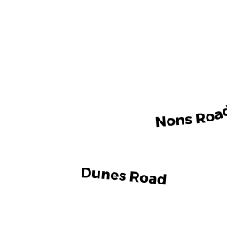
32 DUNES RD
Owner Information
LUCEY THOMAS J &
PO BOX 290756
CHARLESTOWN, MA 02129


Property Details
32 DUNES RD is classified as a Single Family Residential (Cape).
The primary structure on this property was built in 1930. There are 8,406ft2 of built area within this property. There is 8,406ft2 of residential/living space within this property. This property is listed as having 10 rooms.
32 DUNES RD is valued at $4,594,200. The land is valued at $1,431,500 and the structures are valued at $3,045,900. There is an additional valuation of $116,800 on this property.
The most recent deed for 32 DUNES RD is recorded at the local registrar in Book 16245, Page 139. 32 DUNES RD was last sold on Wednesday, January 15, 2003 for $3,100,000.
Assessment data from fiscal year 2020.
Flood Data
This property is partially within the AE Zone (within floodplain). Approximately 0.13 acres (14.86%) of the property is within this zone.
The base flood elevation for this flood zone is 12 feet.
This information is sourced from the FEMA National Flood Hazard Layer. See our full disclamer.
Broadband Internet Providers
| Provider | Type | Bandwidth (mbps) | |
|---|---|---|---|
| T-Mobile | Fixed Wireless | 25 | 3 |
| VSAT Systems, LLC. | Satellite | 2 | 1 |
| HughesNet | Satellite | 25 | 3 |
| GCI Communication Corp. | Satellite | 0 | 0 |
| Comcast | Cable | 1000 | 35 |
| Viasat Inc | Satellite | 35 | 3 |
| Verizon New England Inc. | DSL | 7 | 0 |
Broadband service provider data from December 2020.